A Few Days Around Pucón, Chile
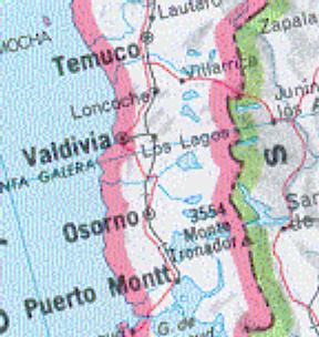 The map above shows the lake district of Chile. This page describes only a small part of it, including Temuco, the transportation center where I flew in, Villarrica, and especially the village of Pucón, which is too small to be shown on the map (its position is at the top of the first l in Villarrica).
|
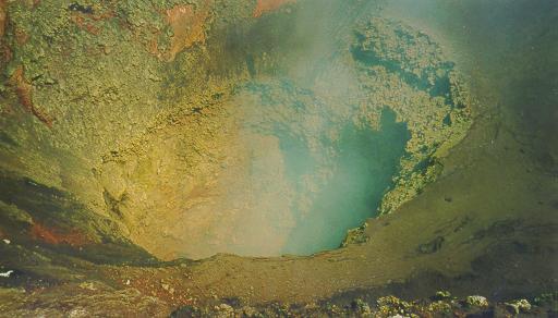
Town of PucónPucón has a permanent population of about 2000, but don't let that fool you. There is a lot to do! The best time to go is probably January, because most Chilean tourists come in February. But there are probably many more months of good weather.
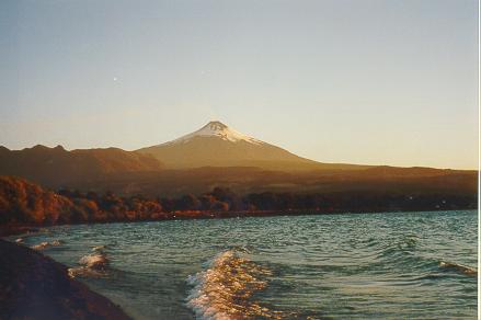
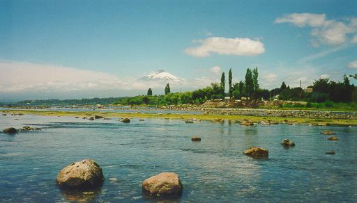
| 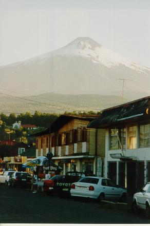 View of Volcan Villarrica
from downtown Pucón.
View of Volcan Villarrica
from downtown Pucón. |

Wooden flowers are a local specialty.
Yes, these flowers really are made of wood!
RollerbladingVillarrica wasn't much better. The streets were terrible, but I found good pavement on the highway leading northwest toward the Panamericana. Unfortunately this highway is pretty narrow and chock full of Greyhound-type buses traveling at high speed. I stuck it out for maybe 6 miles each way, but I found myself wishing I had said goodbye to my loved ones before skating.
|
Running
|
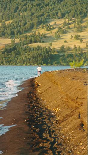 Running along Lago Villarrica, with the last rays of the sun shining
on a four-foot wall of black sand.
Running along Lago Villarrica, with the last rays of the sun shining
on a four-foot wall of black sand.
|
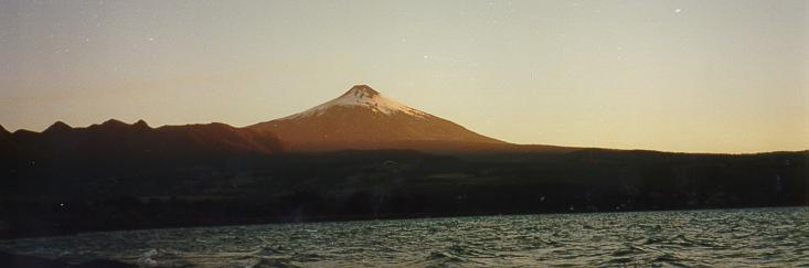
The view on the way back. In this and in the picture at the top of this page, the
light streak to the left of the volcano is smoke coming out of the volcano crater.
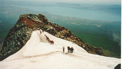
Mountain Biking
|
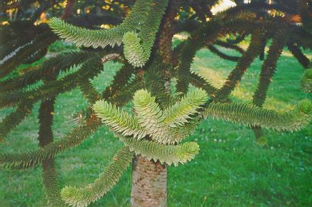 Close-up of the Araucaria or monkey-puzzle tree. |
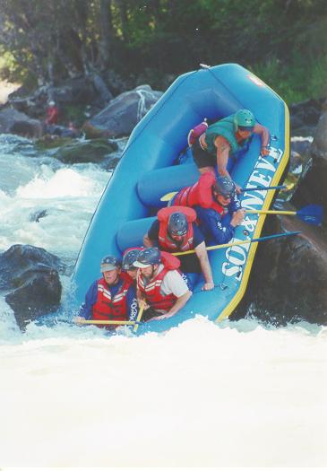 Rafting down the Rio Trancura. |
RaftingSol y Nieve had a still photographer and a video cameraman standing on the shore near the exciting parts. Immediately upon returning, we ssaw the video of us going through the rapids, and after about 10 minutes we saw the pictures, which were pretty good. At 1500 pesos (about US $3) apiece, we bought quite a few.
|
Town of Villarrica
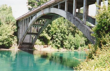 But to my mind the nicest spot in Villarrica is the bridge over the Rio Tolten, which drains the west end of the lake. This river has a beautiful green color which shimmers and changes as you view it from different angles. Looking over the other side of the bridge, you see the lake, the volcano, and a small extinct volcano which now forms an island in the lake. Take the time to scramble down the embankment and look around. There are also rowboats for rent. It looks like the perfect place for a leisurely row.
 View of Volcan Villarrica from the town of Villarrica by day... 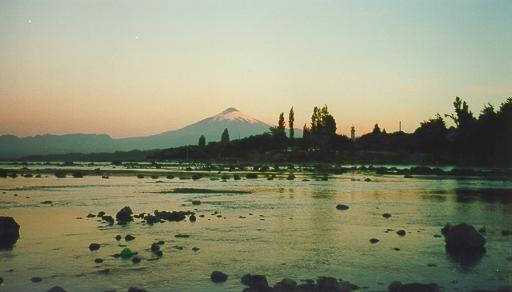 ...and at sunset. |
City of TemucoThe market seemed quite subdued, contrary to its reputation as a fabulous bazaar. I may have been there before things got really active, but there were still plenty of native crafts for sale, if you're into that sort of thing. I thought the native exposition in Villarrica was more personally engaging. For me the main attraction of the market was eating at one of the many restaurants. While I was eating, a minstrel stopped by and sang a few songs, accompanying himself on the guitar. It was very enjoyable, and the patrons who knew the words even joined in. Cerro Nielol was a real treat. I took a taxi as high as the road is open and then walked on a gravel road to the top. I was alone with the birds and the butterflies and felt completely liberated from the tyranny of my travel schedule. Returning to where the taxi dropped me off, I heard music and remembered that the taxi driver had told me there was music there every Sunday afternoon. The outdoor performance area was cozy and had a great view of Temuco, and the music was great. There is a restaurant adjacent for those who don't want to leave such a pleasant place right after the music ends. If possible, pass through Temuco on a Sunday so you can take advantage of this. I then walked down the mountain to downtown. Despite it being called a mountain, this takes only 15 minutes and is quite easy and pleasant.
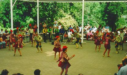 Music and dance on Cerro Nielol above Temuco. So, although Temuco is not a destination in itself, the time you spend passing through can be very enjoyable.
|